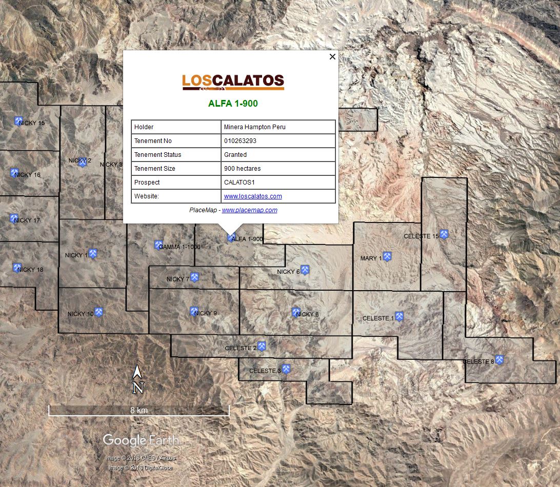
PlaceMap
Using the power of Google Earth to store and display all of your spatial data in a much more dynamic way.
Google Earth is a free software program that lets you fly anywhere on Earth to view satellite imagery, maps, terrain and 3D buildings.
When used in conjunction with PlaceMap, it becomes a very powerful 3D tool that can be used for storing, querying, displaying, printing and distributing all of your spatial data.
For industries such as Real Estate and the Accommodation sector, PlaceMap offers many advantages over the existing map display tools including:
- Use the power of Google Earth for “flying” over your properties…in 2D or 3D
- View buildings and terrain in 3D to see how they relate to other places and look at potential property views
- Create KML/KMZ files of multiple places which can be emailed to interested parties. KML/KMZ files can be opened directly from the email on computer and smart phones and will automatically zoom into the places
- Use the tools available in Google Earth such as the distance measurement tool
- Use the existing layers in Google Earth primary database for viewing location photos, restaurants, bars, schools, bus stops and much more
- Display more specific data such as suburb Census data, historical property sales and other property value details.
- View property boundaries and floor plans in the correct size and orientation
- Link directly to the property Agents website advert
- Save high quality images and movies, including floor plans for printing or emailing to clients
- Add your own place marks to highlight suburb locations such as children’s playgrounds, sporting facilities
- View historical imagery to track changes to a property
- Add photographs and place them in the correct position and view eg. from drones
- Store multiple property KML’s on your smart phone for easy reference eg. “what time was that property open?”
- View suburb data such as median house price changes and other trends and display as “heat maps”
For other industries such as tourism, PlaceMap is a great way to store itineraries on your mobile phone and to view and explore destinations.